
|

| 
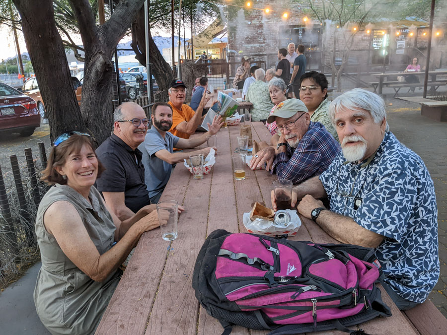
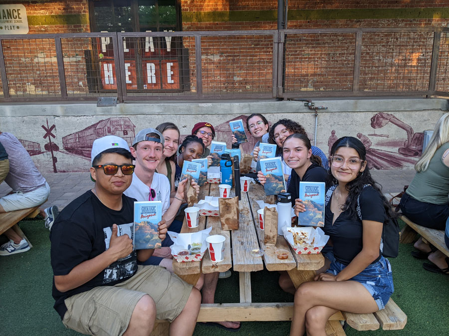
Recent photos of AGS members at June 2023 social hour.
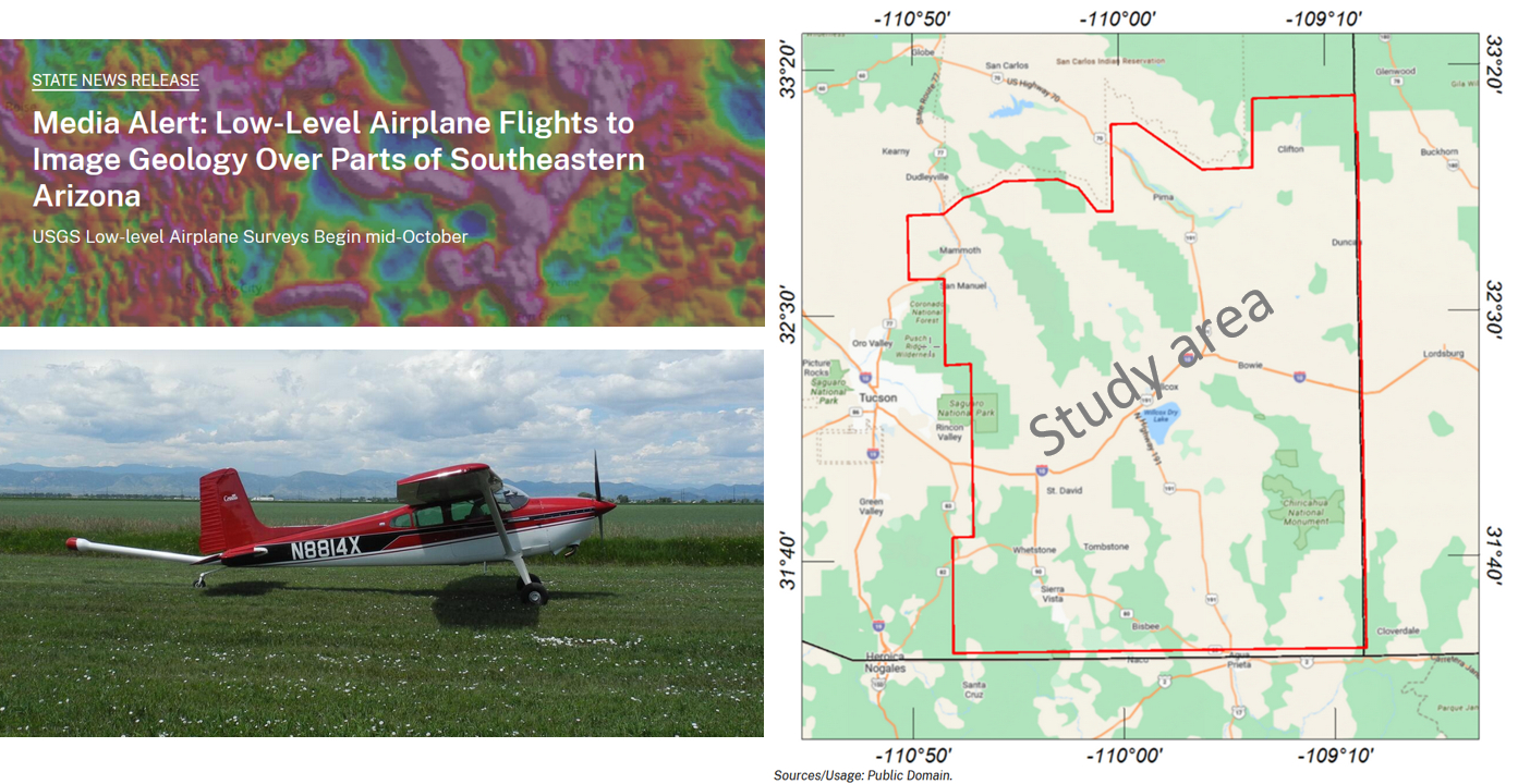
During the fall and winter of 2023, the US Geological Survey and Arizona Geological Survey (AZGS) are collaborating on an airborne geophysical mineral study in southeastern Arizona – see map graphic. The study area encompasses ~ 10,800 square miles and includes parts of Cochise, Graham, Greenlee, Pima, Pinal and Santa Cruz counties and Grant and Hidalgo counties in New Mexico. The chief objective is to enhance fundamental knowledge of the geology of Arizona’s copper porphyry belt, which includes several of the world’s largest copper and molybdenum resources. To complement the airborne survey, the AZGS will conduct ground-based geological and geophysical surveys. The aggregate data will be processed to develop high-resolution, 3-dimensional models of bedrock composition and structure to depths of more than 3,280 feet. This research is supported by the Earth Mapping Resources Initiative (MRI).
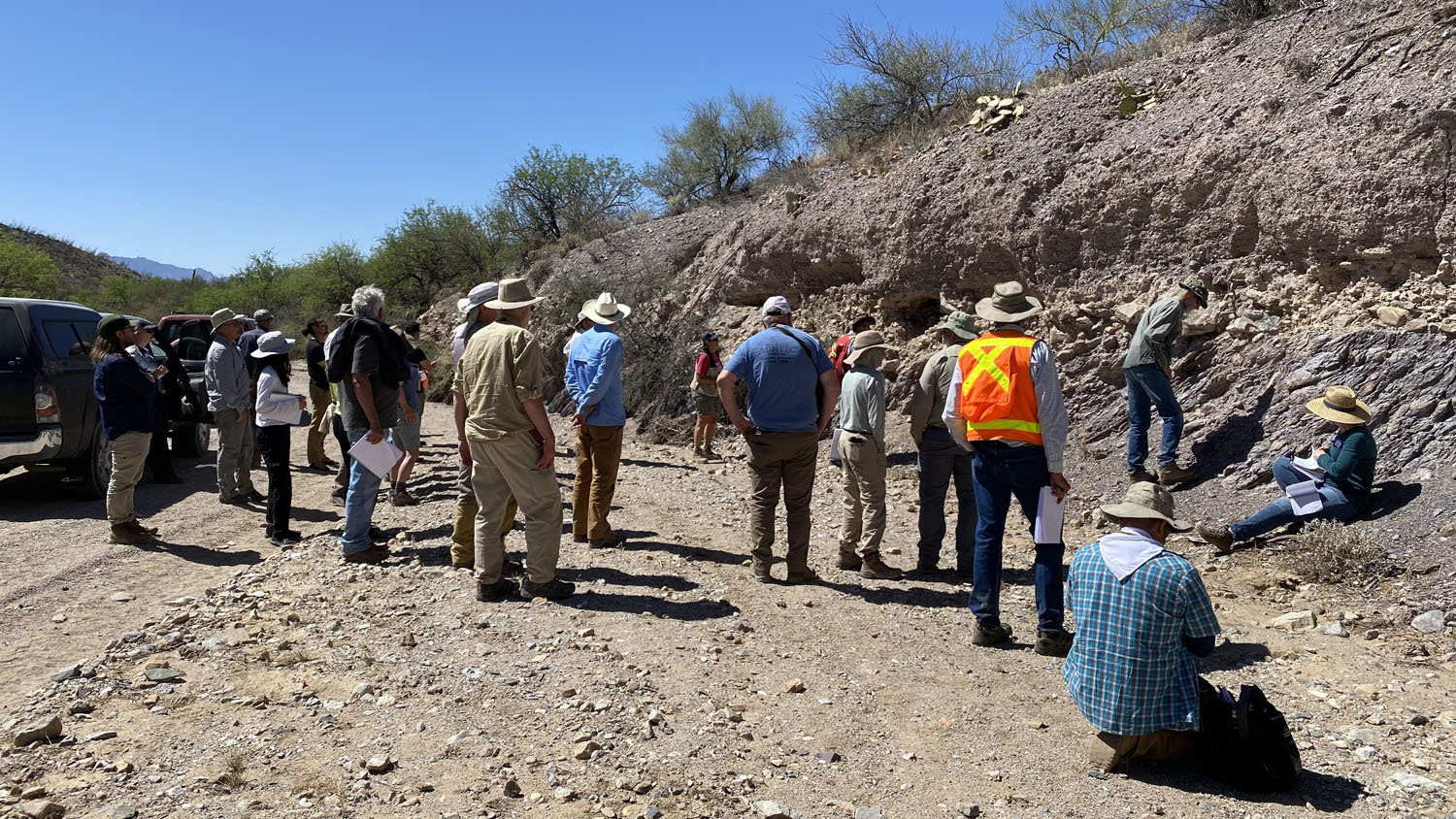
The 2022 Arizona Geological Society Spring Field trip, “Mountains, Mines and Structural Settings of the North and Central Altar Valley, Coyote Mountains to Sierrita Mountains, Pima County, Arizona” was held April 16. Forty-two people attended the day long field trip led by Jay Chapman, Assistant Professor, University of Wyoming and Dan Aiken. Starting and ending at the historic King’s Anvil Ranch in the Altar Valley, poster sessions were held at four additional sites with outcrops to view and collect samples. Other speakers included Phil Pearthree, Gordon Haxel, Larry Dykers, Linda Sheehan, Laural Goodwin, John Stitzer, Stephen Richard, Floyd Gray and Bob Schmaltzel. All of those participating enjoyed the great field trip and look forward to attending another AGS field trip this fall. We wish to thank our sponsor, Skyline Assayers and Laboratories and the King family for allowing us to use their ranch for parking and presentations.
Copies of both hardback and paperback versions of this publication can be purchased from Amazon.com.
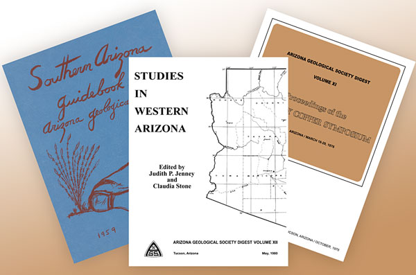
Articles contained within the Arizona Geological Society Digests 1 through 22 are now available on-line at our publications page. Our out-of-print Digests are available to the public, While our in-print Digests are only accessible to AGS members. Anyone who is interested in purchasing Printed Copies of In-Print AGS Digests can do so on-line or contact the AGS Secretary for more details. Copies of current AGS Guidebooks and Digests are also for sale at a reduced price at AGS monthly dinner meetings. |


|
|
||
|